|
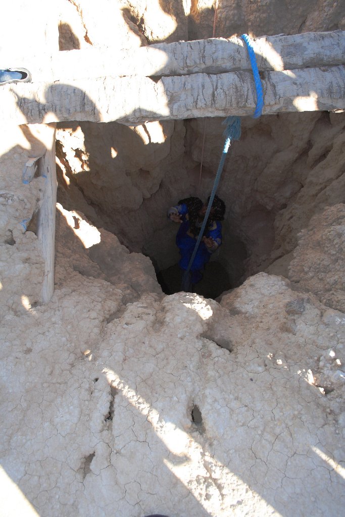 |
| He has walked undergroud from one well to the other | |
| Latitude: N 31°31'49,75" | Longitude: W 4°29'30,42" | Altitude: 853 metres | Location: Ksar el Jdid | State/Province: Meknès-Tafilalet | Country: Marokko | Copyright: Ron Harkink | See map | |
| Total images: 20 | Help | |